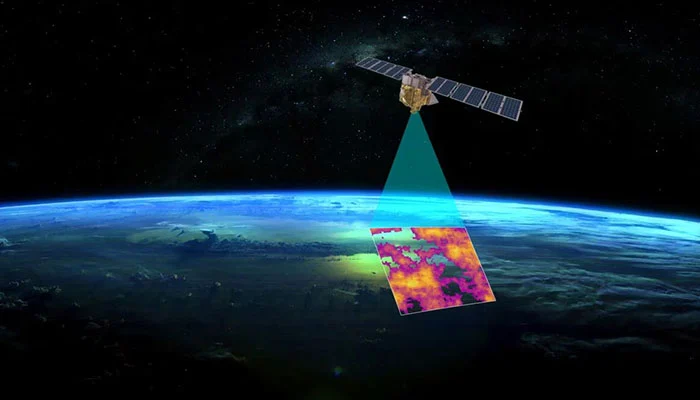
Google, in partnership with leading AI and wildfire experts, has launched the first satellite in the FireSat constellation, aiming to transform wildfire detection and response.
Developed by Google Research, Muon Space, Earth Fire Alliance, the Moore Foundation, and global wildfire authorities, FireSat can detect fires as small as 5×5 meters within 20 minutes, according to ESG News. Google invested $13 million in the project through its AI Collaborative: Wildfires initiative.
Unlike traditional satellite-based fire monitoring, which relies on low-resolution images updated every 12 hours, FireSat provides near real-time data to firefighting authorities, drastically improving response times.
Juliet Rothenberg, who once experienced a wildfire evacuation in California, emphasized the need for such technology. “Back then, all we had was outdated satellite imagery, and even wildfire authorities lacked better data,” she said.
The first of 50 planned satellites was launched from Vandenberg Space Force Base. Satellites were chosen over high-altitude drones due to their decreasing costs and ability to monitor remote, fire-prone areas effectively.
Chris Van Arsdale, a FireSat co-founder, highlighted the challenges of differentiating real fires from environmental noise, such as sensor errors or pixel misalignment.
Beyond emergency response, FireSat will build a global historical record of wildfire patterns, helping scientists predict future outbreaks.
“FireSat isn’t just a response tool,” Rothenberg added. “It’s also a powerful weapon against climate change, helping reduce greenhouse gas emissions while improving disaster response.”